Invasive species threaten fish populations and water quality in lakes, rivers, and streams across America.
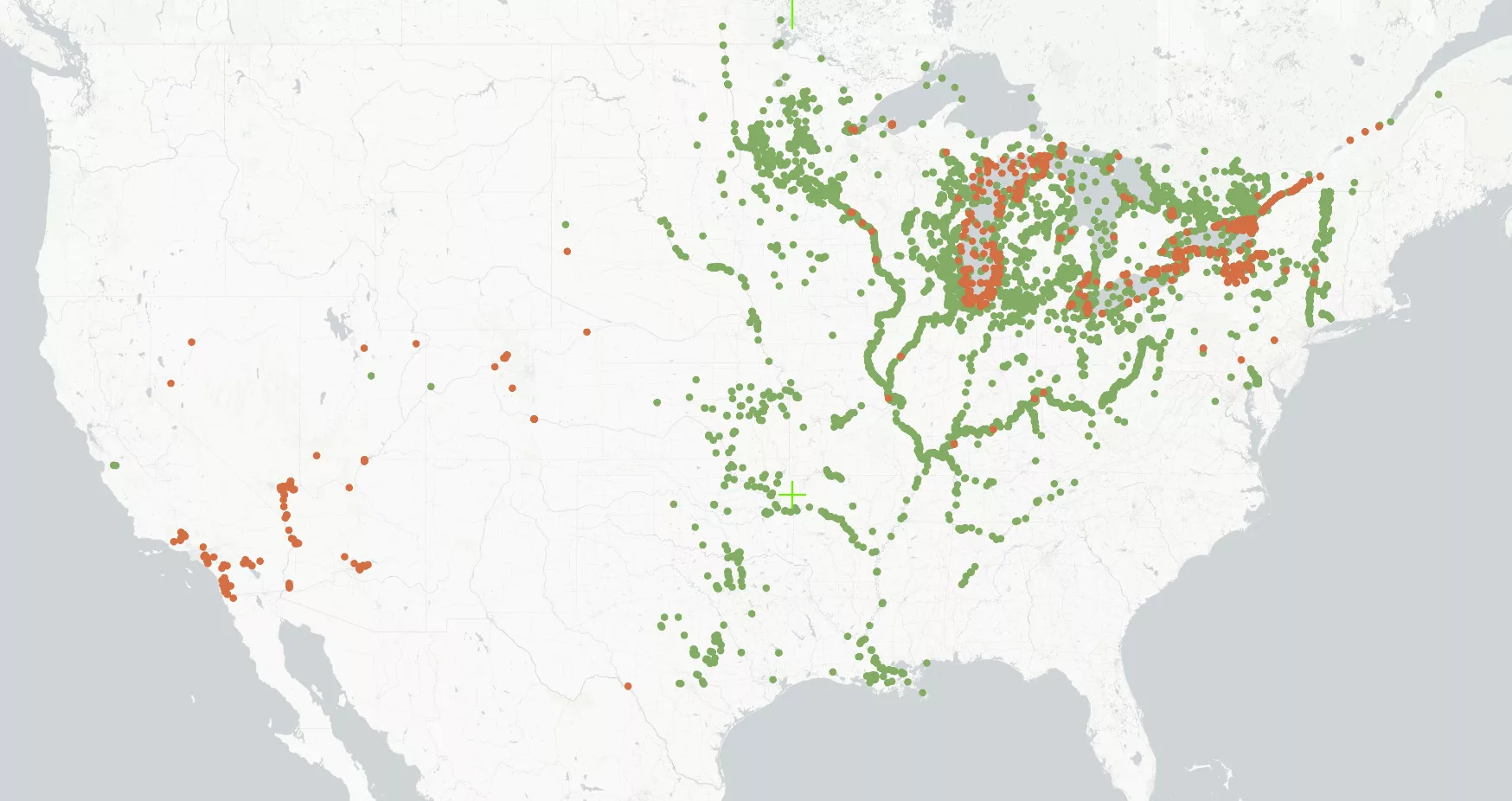
For a project on invasive species awareness, I’ve drafted animated maps of the spread of invasive species across North America. Data comes from the USGS’s Nonindigenous Aquatic Species (NAS) map center.
The process involves importing data into QGIS, exporting the map into Adobe Illustrator and creating each year as its own properly labeled layer. Organizing and renaming each layer, especially for invasive species that have spread throughout the US since the 1990s, is the most time-consuming step.
After Illustrator, the layers are uploaded into Adobe After Effects for animating. Animating allows the “dots,” which are confirmed records of a species in a specific location, to visually spread across the continent.
Stay tuned for the full and final video on preventing the spread of aquatic invasive species.